BAHAMIAN FIELD STATION,
SAN SALVADOR
The Bahamian Field Station (a.k.a. Gerace
Research Centre; the place has gone through many name changes) is the most
commonly used jumping-off place for doing geology & biology teaching and
research on San Salvador Island. The field station was an American naval
station from the early 1950s to the late 1960s. The American military’s
presence on San Salvador had a two-fold purpose: 1) tracking Soviet submarines
in the western North Atlantic near America; and 2) tracking test missiles fired
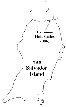
from Cape Kennedy/Cape Canaveral in Florida. The BFS is located near the
island’s northeastern corner, just southwest of North Point Peninsula, and
across the road from Graham’s Harbour Beach.
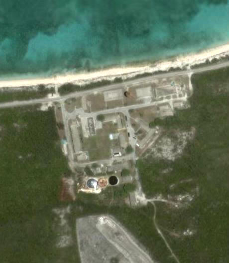
Bahamas Field Station (BFS) (a.k.a. Gerace Research Centre)
(satellite view) - Graham’s Harbour is to the north.
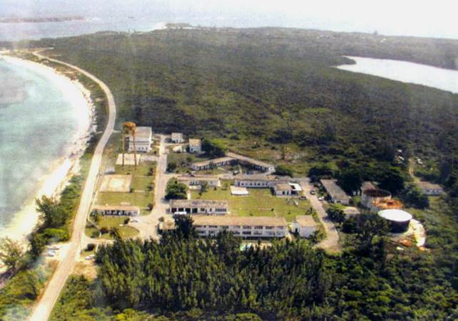
Bahamas Field Station (oblique aerial view) - Graham’s Harbour is to the
left. Reckley Hill Settlement Pond is on
the upper right. Man Head Cay is the
island at the upper left corner.
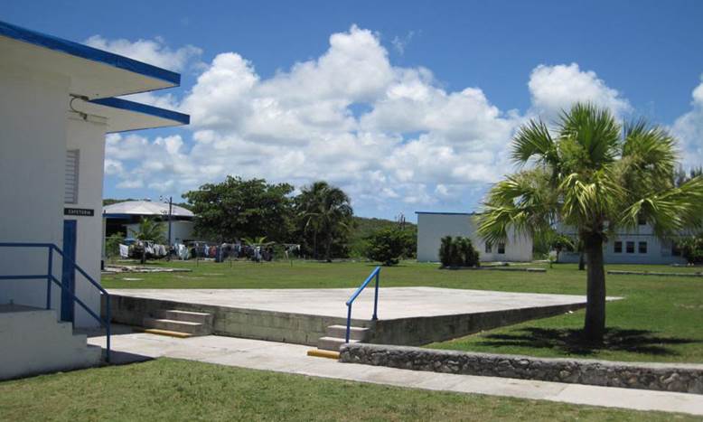
The Bahamian Field Station can house several academic
groups simultaneously. Facilities include housing (a 2-story dormitory
for high school and college students, graduate student housing, and faculty
housing), a cafeteria, a library, a wet lab, a biologic specimen
repository/museum, and a building with a conference hall + lecture rooms + lab
rooms.
Bahamas Field Station
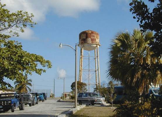
Bahamas Field Station in the 1990s, before the old, rusty water tower
collapsed. Three large water tanks on the southern side of the field
station are now used to clean and store water captured from a large catchment
basin.
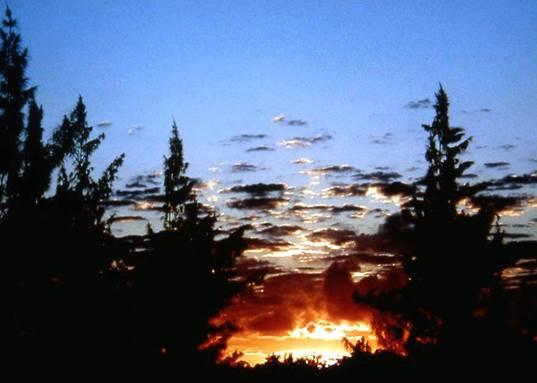
Sunrise
over San Salvador Island at 6:02 AM in March 1999.
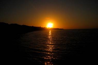
Sunset
over Graham’s Harbour on San Salvador Island in March 2011.