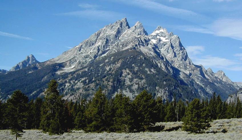
TETON RANGE
Few mountain ranges in the
world rise up from adjacent valleys as dramatically as the Teton Range of
northwestern Wyoming, USA. Seven of the mountains here top out at
>12,000' elevation. The entire range was uplifted approximately 30,000
feet during the late Cenozoic by normal faulting along the Teton Fault.
Much of that offset has been eroded away. The adjacent valley, Jackson
Hole, was downdropped during the same faulting events. The rocks making
up the faces of the Tetons are Precambrian basement rocks - principally
Neoarchean metamorphics & intrusive igneous rocks (ranging in age from ~3.1
to 2.6 billion years).
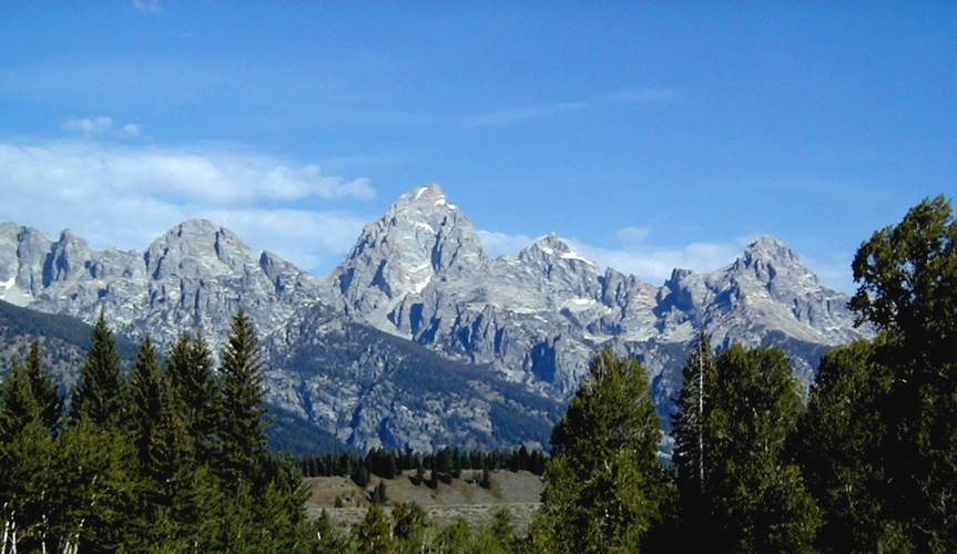
Teton Range - Grand Teton is the
tallest peak at center, topping out at 13,770' elevation. Looking W.
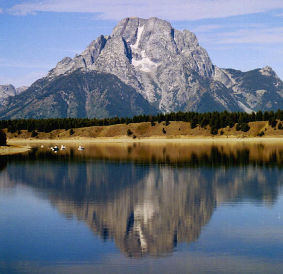
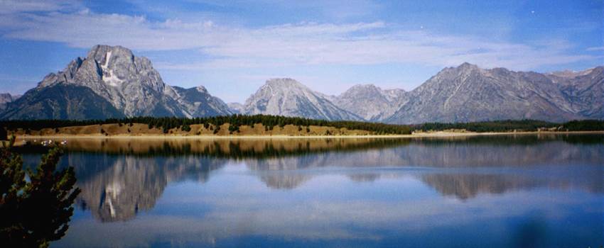
Mt. Moran (above & below; looking
WSW), beautifully reflected in the waters of one of lakes occupying the Jackson
Hole Valley. An obvious dark-colored, subvertical diabase dike is visible
on the left side of the summit (see labeled photo below). A little bit of
light-brownish quartzose sandstone caps the peak (again see labeled pic
below). This is the Flathead Sandstone (Middle Cambrian). Mt. Moran
is the only peak in the Teton Range that preserves any Phanerozoic rocks (but
not by much!). The base of the Flathead is the "Great
Unconformity", a near-continent wide erosion surface that separates
Precambrian basement rocks from (usually) Phanerozoic sedimentary cover.
The Great Unconformity is best exposed & best studied in the Grand Canyon.

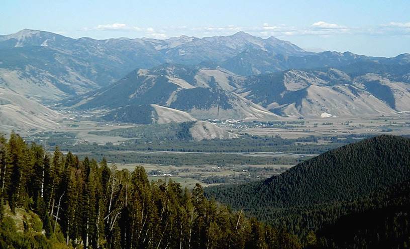
The above photo is a view of
the Jackson Hole Valley (looking E), as seen from Teton Pass, near the southern
end of the Teton Range. The Jackson Hole Valley (graben) is north-south
oriented, about 6 to 12 miles wide, and about 45 miles long.
Going down Teton Pass is a
white-knuckle drive. The town of Jackson (or Jackson Hole) has some of
the most expensive real estate in America.